
By Hannah Hart
Project Manager, Resilience Solutions
Dewberry
It’s no secret Florida communities face significant challenges from flood events, increased storm activity, and environmental changes. One of the most effective ways to mitigate those challenges is by planning ahead. Funding and resources have historically been limited in rural towns and cities. Thus, the question becomes how can rural communities best prepare themselves, their residents, and their built assets for the next disaster while also optimizing available funding and resources? Amidst the dynamic landscape of rural Florida, the Resilient Florida Grant Program has emerged as a pivotal force, empowering communities to proactively tackle environmental risks.
Good data—gold in the bank
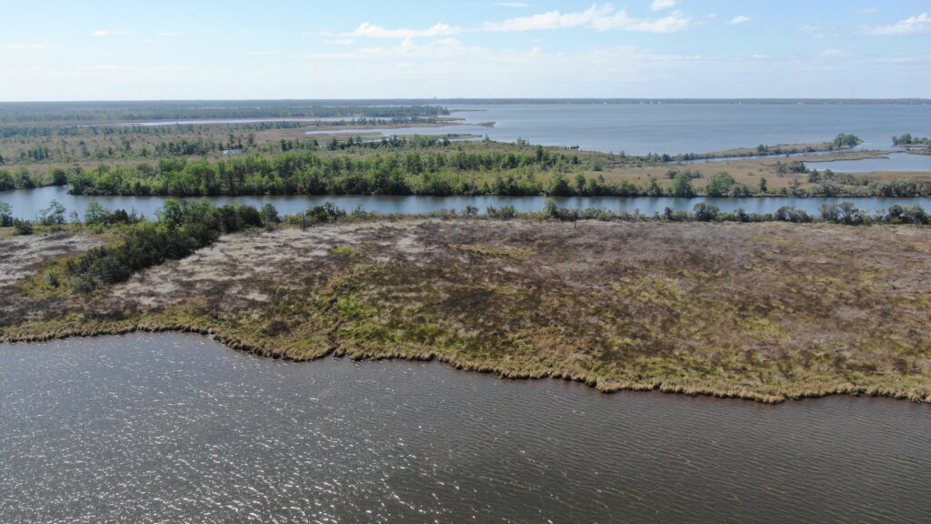
If the process of disaster mitigation begins with good planning, then planning must begin with good data. Many rural areas have had to rely on the best available information, which is often limited to outdated FEMA flood maps based on historical data rather than any formal models or established base flood elevations specific to their area. And, while climate studies and other vulnerability assessments have been funded for nearly 30 years in urban areas with significant tax bases, they’ve been highly underfunded in rural communities, particularly in the South.
The result of geographical data gaps and outdated data is two-fold. First, rural communities are often left in reaction mode when a major storm hits. Second, without high-quality, local data, they struggle to demonstrate need in grant applications, leading to compounded funding problems.
Having good data is like having gold in the bank. Once data is available, the possibilities open up for assessing future climate scenarios and moving rural communities from a reactive to a proactive stance. In turn, proactive planning for future conditions springboards communities toward success in multiple ways, such as pre-event knowledge of vital infrastructure that will likely be impacted during a disaster, allowing communities to respond more efficiently after a disaster with proxy assets or repair requirement. Good data also enhance local communities’ ability to attract desirable businesses and industry.
However, getting good data in order to secure funding requires funding in the first place, and that’s exactly why the Resilient Florida Grant Program, which requires no up-front funds for planning studies, has been so significant to countless communities in Florida. This program makes substantial critical asset datasets a real possibility for any city or town willing to apply for the funding.
From data collection to planning ahead
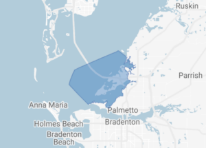
Once funding is secured and studies are completed, rural communities can pivot from reactive survival mode in the wake of an event to proactive, future-focused planning. In recent months, many rural counties in Florida have undertaken inaugural vulnerability assessments thanks to funding from the state, with some communities combining that with additional funding for related studies from the Federal Emergency Management Agency (FEMA), the Department of Housing and Urban Development (HUD), and the National Oceanic and Atmospheric Administration (NOAA). Currently, Florida’s program is focused on adaptive work for flooding hazards, although much of the nation is also planning for other hazards, such as extreme heat and wildfires.
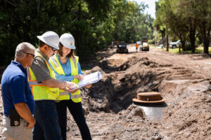
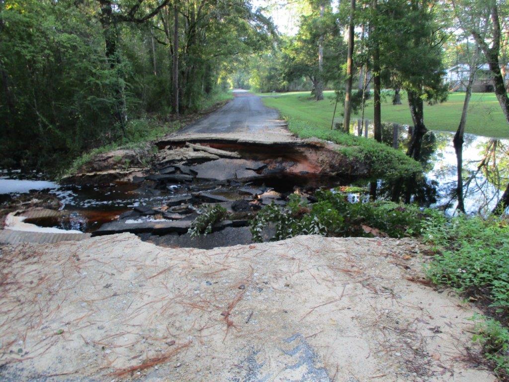
At the local level, rural county and local staff have welcomed these planning studies and are highly engaged in assisting consultant teams in collecting relevant local data. In northwest Florida, where they have experienced more than six named storm events in just the last five years, local staff more than understand the criticality of the issues involved with climate hazards. To meet this challenge, vulnerability assessments have recently begun in Calhoun, Jackson, and Liberty Counties, among others. In completing these studies, the institutional knowledge and firsthand experience of local staff and residents is vital. For example, during the project kickoff meeting in Calhoun County, staff spent significant time sharing stories of both drought and intense rainstorms, coupled with specific locations of blocked rivers from tree fall debris still left from Hurricane Michael.
With useful, up-to-date data in hand from these studies and evaluations, Florida’s rural communities are properly positioned to plan for future climate hazards. The data also aid in updating local mitigation strategy (LMS) plans, which, when aligned with completed vulnerability assessments, enable rural communities to leverage both state and federal funding to implement necessary infrastructure hardening projects.
As Florida’s coastline and topography change in the wake of major storm events, there is a demonstrated need for continued funding for climate studies, proper asset management, and updated mapping to facilitate responsible planning, sustainable use of resources, and designing infrastructure with future conditions in mind.