By STAFF REPORTS
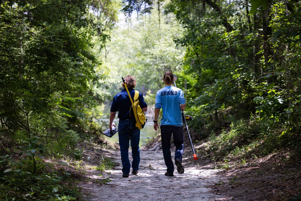
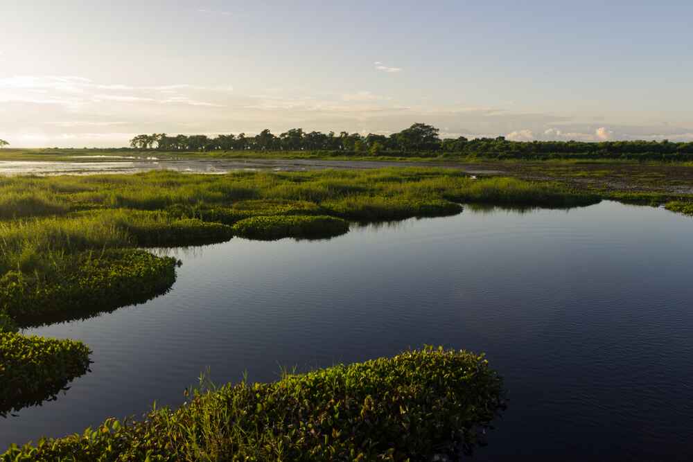
The Suwannee River Water Management District (SRWMD) is tasked with a mission that is as complex as it is vital: managing the water resources across a 7,640-square-mile region.
This responsibility requires not just boots on the ground but also sophisticated technology.
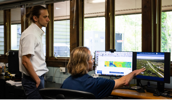
At the forefront of SRWMD’s operations is Geographic Information System (GIS) technology, a powerful tool that transforms vast amounts of data about our lands and water into actionable insights.
Unlocking the Potential of GIS
A GIS application is simply a map with an overlay of data. Americans who have used Google Maps have used GIS to explore and make decisions.
At its core, GIS is a system designed to capture, store, analyze, manage, and present spatial or geographic data. For SRWMD, GIS is more than just a mapping tool; it’s the backbone of their decision-making process.
“Every department within the District relies on GIS in some capacity,” saidsays Paul Buchanan, the GIS Manager at SRWMD. “From land management to water quality monitoring to flood hazard zone mapping, GIS helps us visualize complex geo-referenced spatial data of the landscape so the SRWMD staff can make more informed decisions to solve problems.”
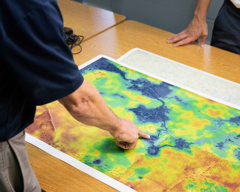
Floodplain Mapping: A Critical Application
“Accurate floodplain maps are essential for agricultural, insurance, and recreational planning,” said Andrew Neel, a SRWMD Senior GIS Analyst “LIDAR isn’t just about drawing new lines on a map. We used GIS to reanalyze the data and double-check the quality, ensuring that our maps reflected the most current and accurate information available. This data is used widely from local engineers all the way up to FEMA themselves, so we want to make sure we have the best possible dataset.”
For property owners, being moved into or out of a designated flood area can mean thousands of extra dollars for insurance. The updated floodplain maps have significant implications for property owners, developers, and insurers. By providing more accurate information, SRWMD is helping promote more informed decision-making.
Bridging the Gap: GIS as a Public Service
One of the most significant advantages of GIS technology is its ability to bridge the gap between technical data and public understanding.
Flood zones, elevation data, and land management plans can be incredibly complex, but GIS allows SRWMD to present this information in a way that is accessible to the public.
“We often get questions like, ‘Is my property in a flood zone?’ or ‘What’s my elevation?’ These are exactly the kinds of questions GIS can help answer,” said Buchanan.
Transparency and Accessibility
SRWMD doesn’t just stop at providing answers; they go a step further by actively engaging with their stakeholders. The District uses GIS to create interactive maps that residents can use to explore their own properties.
This transparency is crucial, especially when it comes to issues like flood insurance and property development.
“We want the public to know that GIS data is being used all around them every day for many applications and purposes,” Buchanan saidadds. “A lot of GIS data is available to them as well in many forms that they are familiar with using such as easy-to-use mapping apps and online web maps.”
Educating the Next Generation
SRWMD is not only focused on the present but is also looking to the future. Recognizing the importance of GIS in environmental management, the District has initiated programs to introduce GIS technology to students from kindergarten through 12th grade.
“We believe that by educating young people about GIS, we’re investing in the future of our District,” Buchanan saidexplains. “These students are the future scientists, farmers, teachers, and engineers who will be tasked with conserving our water resources as the region grows. By giving them GIS tools to understand geography and analyze spatial data, we’re helping to prepare them for those challenges.”
Building a Stronger Future with GIS
As SRWMD continues to enhance its GIS capabilities, the benefits will be far-reaching. Here are some key improvements on the horizon:
- More accurate floodplain mapping: With the integration of new data sources, such as LiDAR and satellite imagery, property owners will have a clearer understanding of their flood risk, enabling them to make informed decisions about insurance and development.
- Improved recreational planning: Visitors to SRWMD lands will benefit from more detailed maps and data on trails, water levels, and wildlife habitats, enhancing their outdoor experience.
- Better emergency response and planning: With enhanced GIS capabilities, SRWMD will be able to respond more effectively to natural disasters, such as floods and wildfires, and develop more robust emergency plans.
Investing in a Sustainable Future
By investing in GIS, SRWMD is building a stronger foundation for responsible water management, supporting the needs of property owners, farmers, recreational users, and the environment. As the district continues to innovate and improve its GIS capabilities, the benefits will be felt across the region, contributing to a more sustainable future for generations to come.