By DANIELLE FITZPATRICK
In Florida, storm season is a way of life, and with it comes the challenge of unpredictable flooding. But what if we could see flood risks coming before a storm hits? Imagine the difference it could make for communities to know where water might rise — well ahead of time. Thanks to new technology, that vision is becoming a reality.
The St. Johns River Water Management District, in cooperation with Streamline Technologies, has developed a Real-Time Flood Forecasting Resiliency Model for the Upper St. Johns River Basin (Indian River, Brevard, and portions of Okeechobee, Osceola, Orange, Seminole and Volusia counties), an area covering 1,300 square miles. This model can provide forecasts of water levels up to 10 days in advance. Using a blend of geospatial, weather and water data, it helps predict how storms will impact water levels across the region.
“The model has the capability to operate on multiple scales, from large regional areas to showing how a particular storm may affect a small community,” said the District’s Bureau Chief of Watershed Management and Modeling Yanbing Jia. “We will be able to share this data with local governments and emergency managers to help them respond to flooding events.”
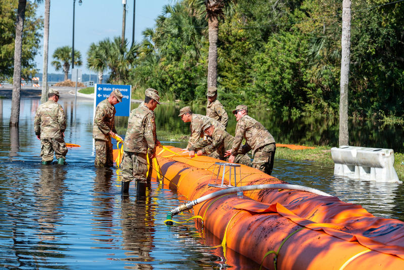
With the completion of the Upper St. Johns Basin model, the District is now working to expand its forecasting capabilities to central Florida, a region that faces unique flooding challenges. Unlike faster-flowing rivers, the slow-moving St. Johns River often causes floodwaters to linger, especially after major storms like hurricanes Ian and Nicole, which led to record flooding in recent years that severely impacted local communities.
“In the aftermath of those storms, the District brought together city, county and state agencies to brainstorm better ways to predict, manage and respond before and after a storm event,” said the District’s Chief Resilience Officer Tom Frick. “From that meeting, it became clear that there was a real need for flood forecasting in the central Florida area followed by collective action.”
In 2024, the District received a Resilient Florida Program Planning Grant to help expand the flood forecasting model across the 2,900-square-mile Upper and Middle St. Johns River Basin (portions of Orange, Seminole, Volusia and Lake counties). Managed by the Florida Department of Environmental Protection, the Resilient Florida Program funds projects that enhance climate resilience across the state. This grant will allow the District to collect additional data and develop improved tools to provide more precise flood predictions across a larger area.
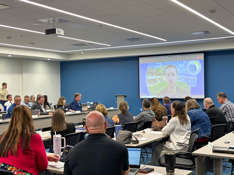
Part of this expansion involves working closely with local governments to map out flood-prone areas and integrate their existing stormwater models with the District’s forecasts. By doing so, local emergency teams will have more accurate and timely information on water levels and flood risks, helping them prepare and respond faster when storms hit.
The District is also collaborating with the Florida Flood Hub, which connects scientists, policymakers and the public to improve flood risk management across the state. Sharing data with the Flood Hub will help strengthen flood forecasting and inform science-based policy and planning statewide.
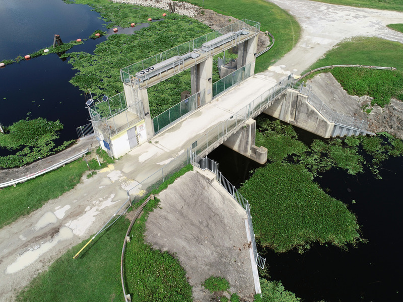
This expanded, comprehensive flood forecasting model is expected to be completed by August 2027. While existing systems already help guide flood management before and after storms, the new model will provide communities across the region with even better tools to predict and respond to flood risks, ultimately making neighborhoods safer and more resilient.
Danielle FitzPatrick is a Public Communications Coordinator at the St. Johns River Water Management District


