By DR. CHRIS ANASTASIOU
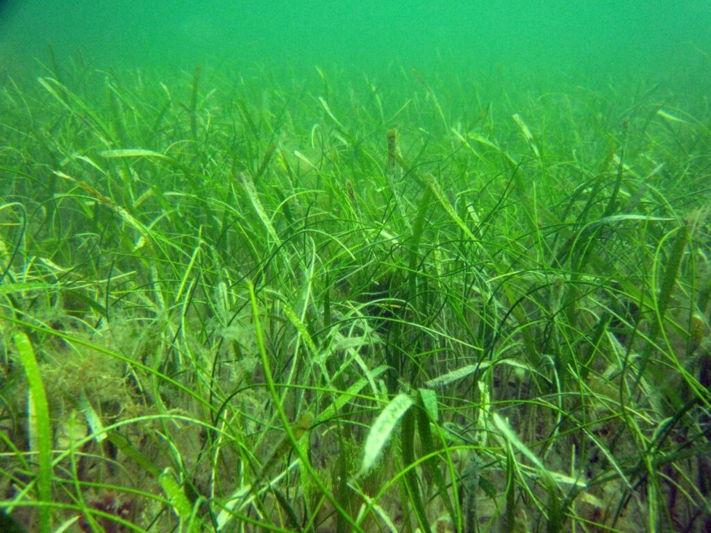
Q: What are seagrasses?
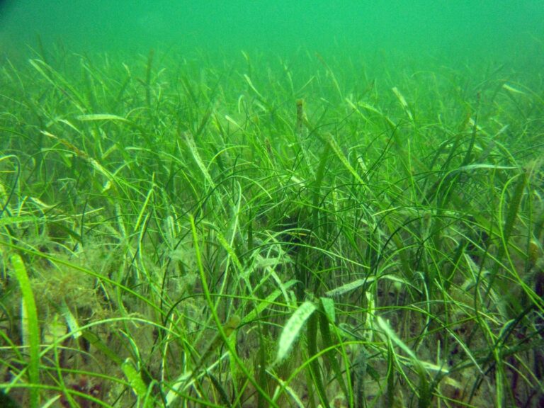
A: Seagrasses are flowering plants that have leaves, flowers, seeds, and roots. Unlike land plants, seagrasses do not have strong stems to hold themselves up. Instead, they are supported by the buoyancy of the water surrounding them. Another unique characteristic of seagrasses is that they are “halophytes,” meaning they only grow in saltwater. Of the approximately 52 species of seagrasses that exist worldwide, there are only seven species found in Florida, six of them along Florida’s Gulf Coast.
Q: Where do seagrasses grow?
A: Seagrasses typically grow in protected bays and lagoons but can also be found in open water off the Florida Gulf Coast. The depth to which seagrasses grow is most often determined by the amount of light reaching the bottom. In most of our Gulf Coastal estuaries you can find seagrass meadows between 6-10 feet of water. But off the Springs Coast, seagrasses can grow at depths of 30 feet or more! Overall, Florida has about 2.5 million acres of seagrass, more seagrass than anywhere else in the continental United States.
Q: Why are seagrasses so important?
A: Seagrasses provide critical habitat in Florida estuaries. They help improve water clarity, reduce nutrient pollution, and even help combat climate change. Approximately 70 percent of commercially and recreationally important species of fish spend at least part of their lifecycle within seagrass meadows. Seagrasses are very important to Florida’s economic health, contributing $10-20 billion annually to the state’s economy.
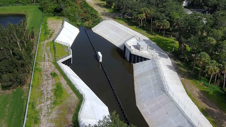
Q: How and why does the District map seagrass habitat?
A: Seagrasses are sensitive to environmental change and therefore make very good indicators of estuarine health. For this reason, District scientists have been mapping seagrass habitat along the west-central and southwest Florida coast since 1988 to “take the pulse” of the estuary. The District seagrass maps are based on high-resolution digital imagery collected by fixed-wing aircraft flying at an altitude of approximately 8,000 feet. Specially trained photo-interpreters create the maps based on aerial image signatures and field verification data collected throughout the mapping cycle.
Q: When does the District map seagrass and when is the next map expected?
A: The District maps seagrasses along two regions of west-central and southwest Florida, the Springs Coast, and the Suncoast. The Suncoast includes all the estuaries from Tampa Bay south to Charlotte Harbor and is mapped on a two-year cycle. The Springs Coast extends from Waccasassa Bay near Cedar Key south to the mouth of the Anclote River, near Tarpon Springs. This region is mapped on a four-year cycle. In 2024, both Suncoast and Springs Coast regions were mapped. Because the maps are based on imagery collected in early 2024, the 2024 seagrass mapping results represent conditions prior to the 2024 Hurricane Season. The next mapping cycle for the Suncoast is in 2026 and the Springs Coast is scheduled to be mapped again in 2028.
Q: How are seagrasses doing in our estuaries?
A: The Springs Coast continues to be home to the second largest seagrass habitat in the continental United States with over 580,000 acres mapped in 2024. Since mapping this region began in 2007, seagrass coverage has been remarkably stable and resilient to environmental stressors, such as hurricanes and increased nitrogen concentrations in many springs. The Suncoast saw modest gains in Tampa Bay and Sarasota Bay, which marks the first seagrass increase in these estuaries since 2016. We are encouraged that these increases could mark the beginning of a recovery since the red tide of 2017-2019. Improvements in wastewater and stormwater management have been key to Sarasota Bay’s recovery. Charlotte Harbor, the District’s southernmost estuary continued to see losses in 2024, though much smaller than the record losses between 2018 and 2020.
Q: Who else monitors seagrasses in my estuary?
A: The District’s maps provide an excellent estimate of seagrass coverage over time. To complete the seagrass habitat picture, our local partners also help collect site-specific seagrass data. These partners, including city and county governments, National Estuary Programs, and citizen volunteer groups, work very hard to collect critical site-specific data, that when used in conjunction with the District’s seagrass maps, gives us a comprehensive look at this ecologically and economically critical undersea habitat.
Q: How can I find out more information about seagrasses?
A: To learn more about seagrass and the District’s mapping process, please visit WaterMatters.org/Seagrass.
Dr. Chris Anastasiou is the Chief Water Quality Scientist and the Seagrass Mapping Program Lead for the Southwest Florida Water Management District. He holds a Ph.D. in Marine Science from the University of South Florida and has 30 years of experience conducting research and implementing projects in marine and freshwater ecosystems across the Gulf Coast. Dr. Anastasiou has served for 20 years as a Meteorology and Oceanography officer in the United States Navy Reserve.